Agricultural Environment
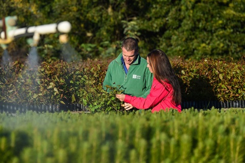
Greater Hume has a rich agricultural heritage supported by active rural communities often centred around small public schools or community halls. Communities include Alma Park, Bethel, Bowna, Bungowannah, Carabost, Cookardinia, Goombargana, Lankey’s Creek, Little Billabong, Moorwatha, Mullengandra, Wymah and Yarra Yarra.
Our agricultural influence is shown during the year as the countryside explodes with colour (from oil seed and cereal crops) and noise (with the bleating of lambs or mooing of calves). Visitors can enjoy real farming experiences in Greater Hume through our farmstay experiences. Talk with working Australian farmers and indulge yourself with true Australian country cooking from home-baked cakes and roasts to a delicious hamper for a picnic.
See the Tours section for more about Agritourism and sampling the region’s fresh produce.
Atlas of Living Australia
The Atlas of Living Australia (ALA) is a collaborative, digital, open infrastructure that pulls together Australian biodiversity data from multiple sources, making it accessible and reusable.
The ALA helps to create a more detailed picture of Australia’s biodiversity for scientists, policy makers, environmental planners and land managers, industry and the general public, and enables them to work more efficiently.
To see the biodiversity data for your area go to the ALA website.